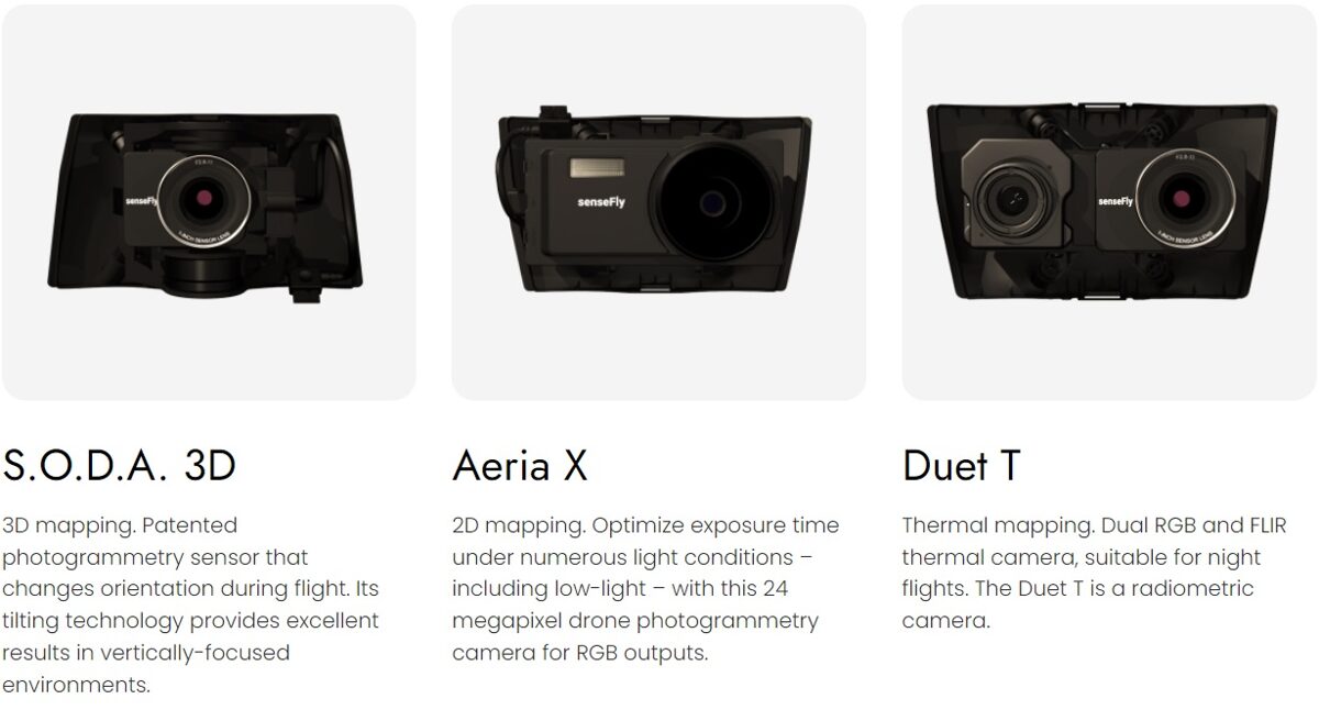


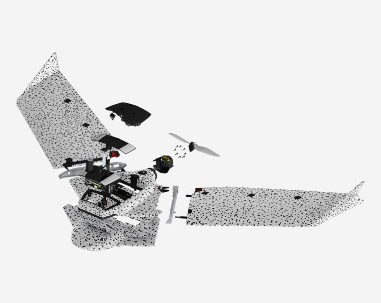
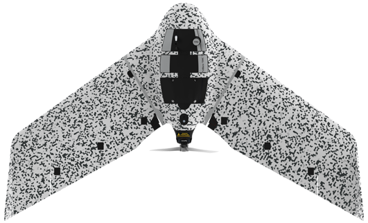
Ebee TAC
Cyber-secure governmental and tactical mapping drone
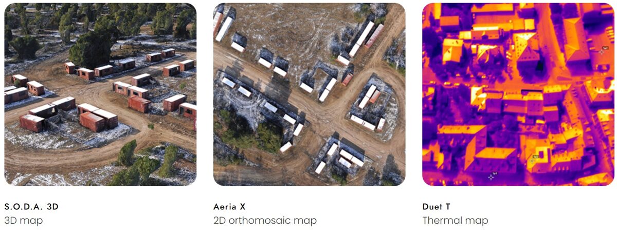
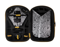
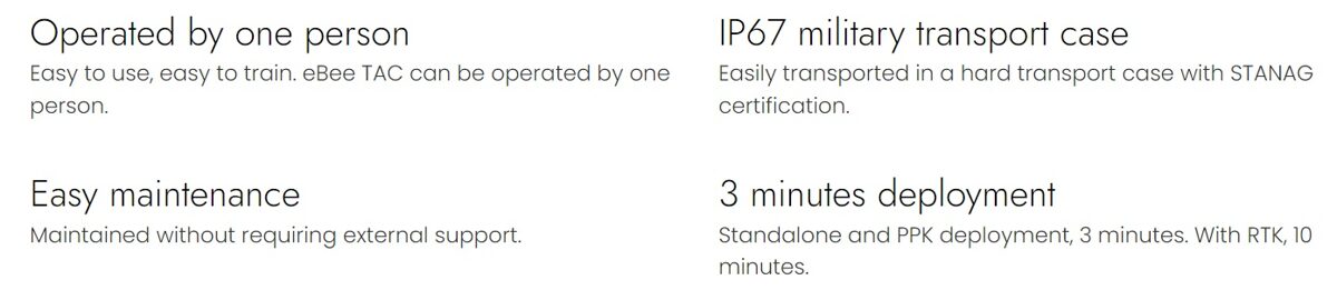
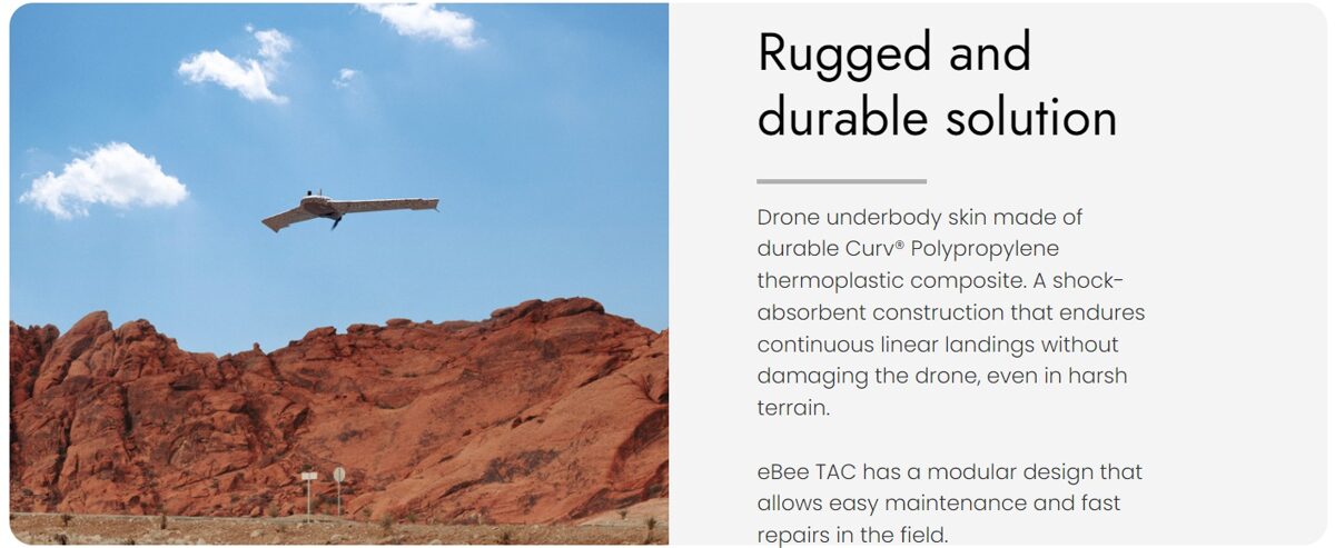
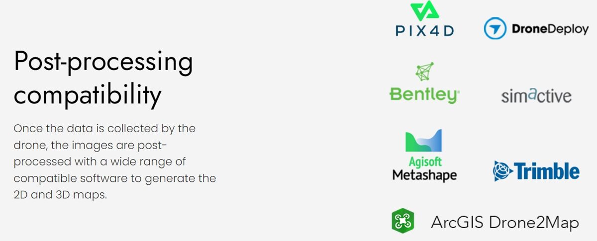
Perform in disconnected environments to act precisely. eBee TAC can be operated by one person and deployed in 3 minutes. 3D models, thermal and orthomosaics maps sharable locally.
Specially designed for situation awareness
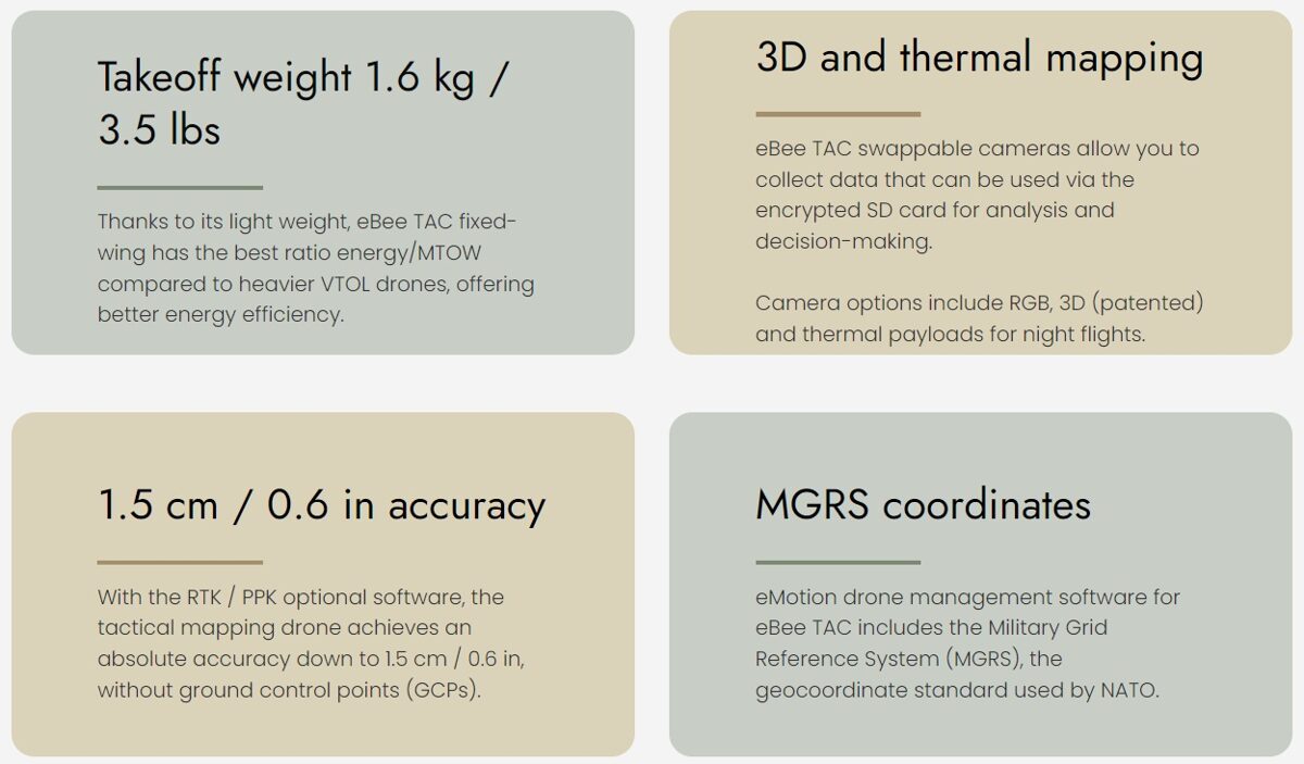
Features Mission ready UAS
Why eBee TAC
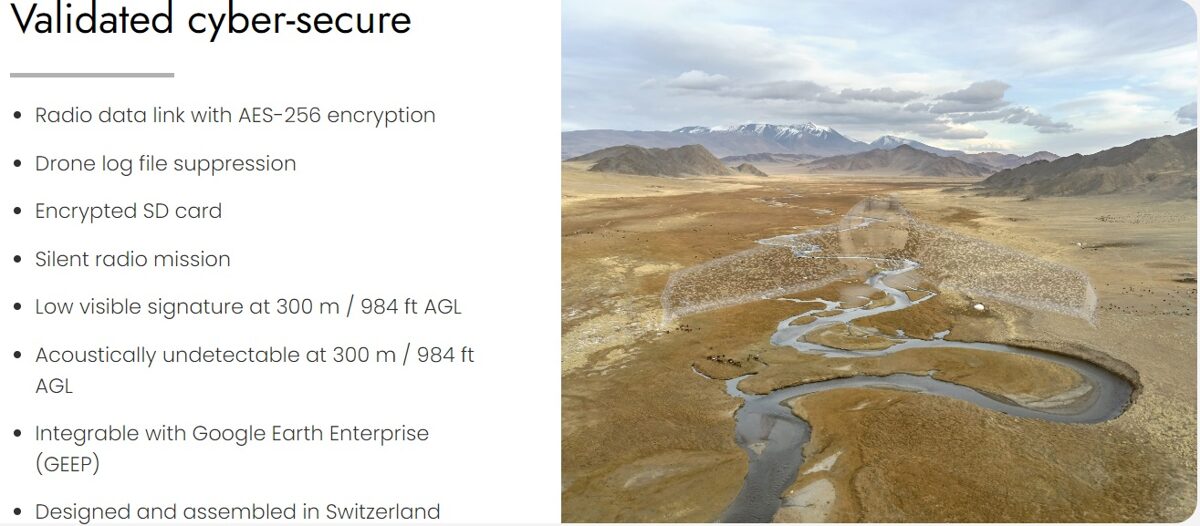
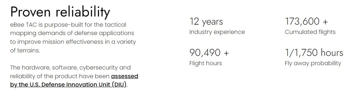
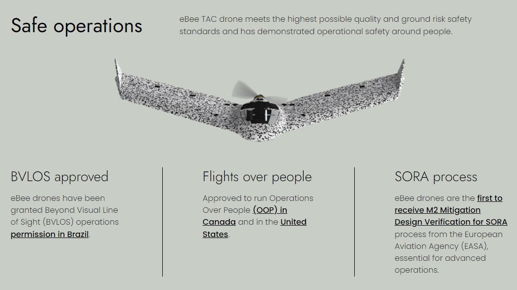
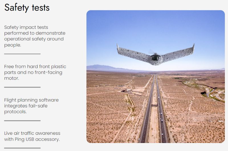
Fully operational and approved solution
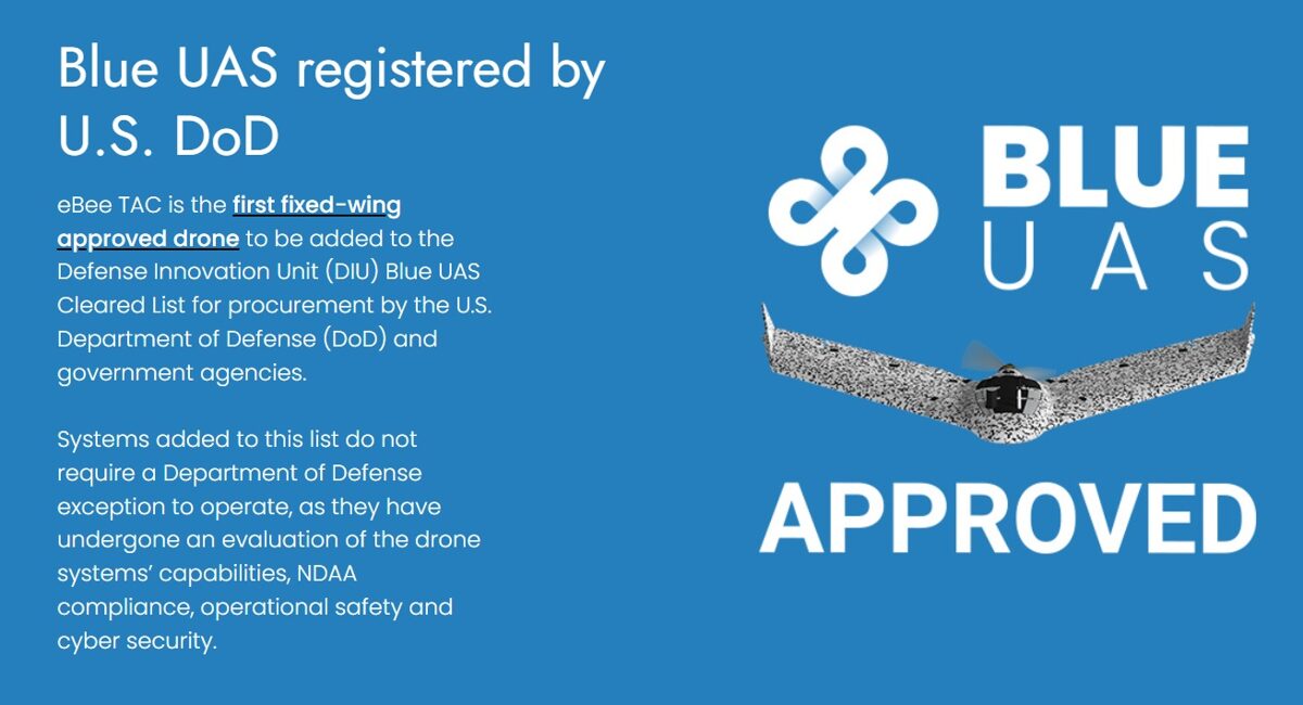
Used by armed forces worldwide
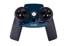
Easy to use tactical drone

eMotion
Flight management software
Easy to use, with advanced features. All the functionality you need to collect and manage geospatial data to act with precision.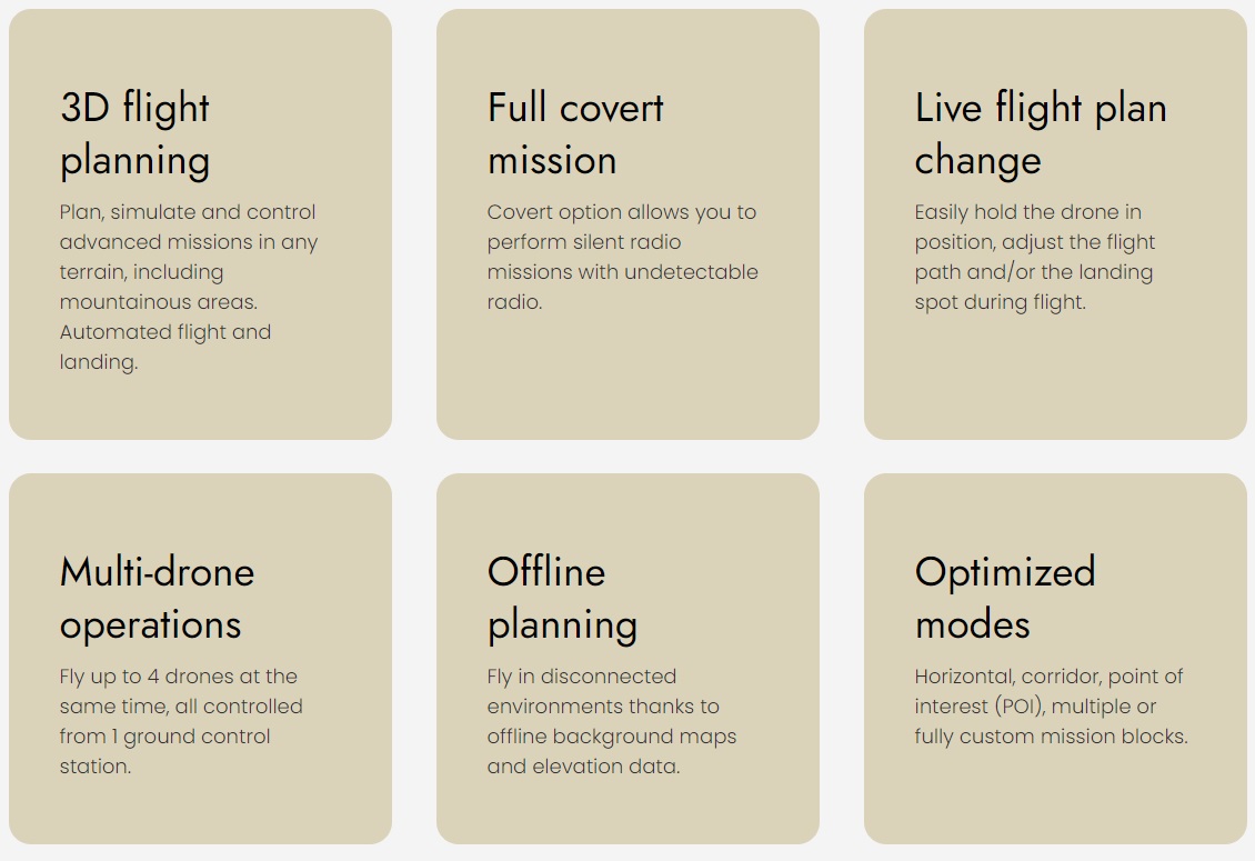
“Being able to adjust or change the flight plan with eMotion during the flight is one of the most valuable features to us. For example, we recently had to do a mission with our eBee TAC near an aid and rescue helicopter that had 7 minutes to take off in case of an emergency. With eMotion, we were able to clear the helicopter flight area in a couple of minutes, avoiding any potential risk.”
- Major -
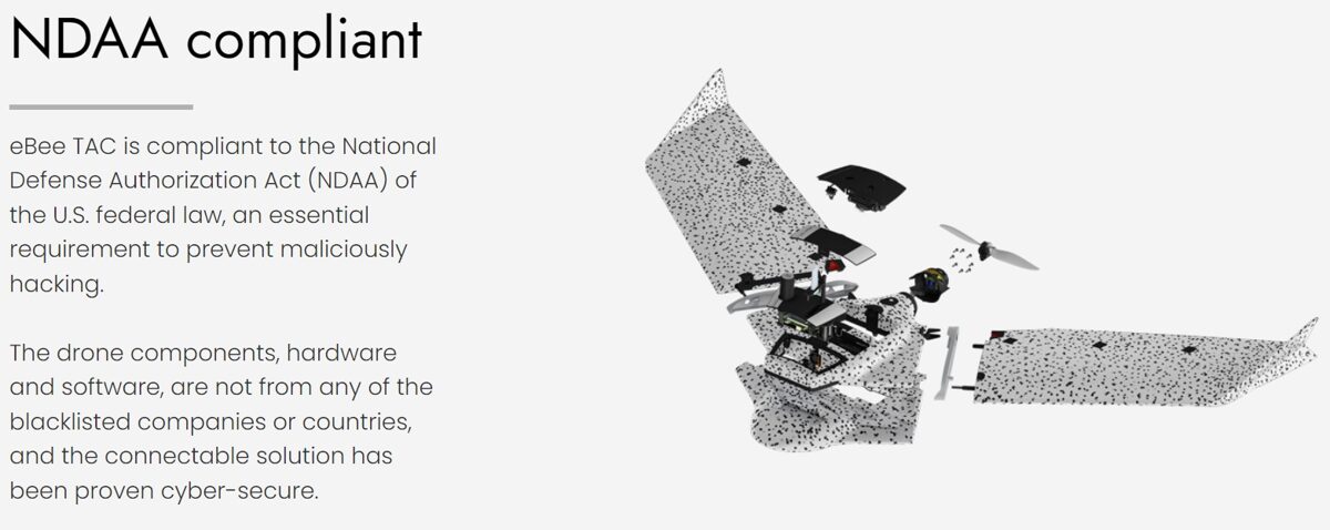

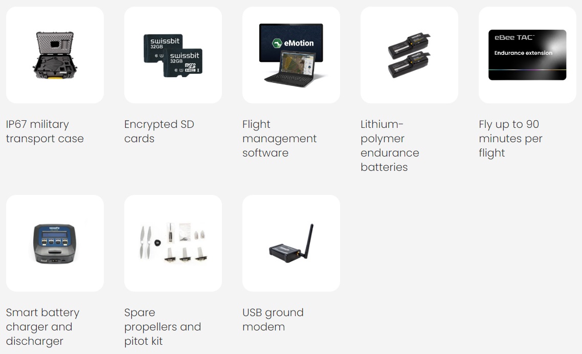
Hardware and software included
What you'll get
Interchangeable sensors
Drone cameras available for eBee TAC